ANTIQUE MAPS
-
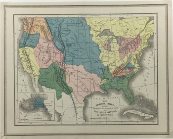
USA Map – Indian Nations, Aboriginal America, 1885
$95.00 -
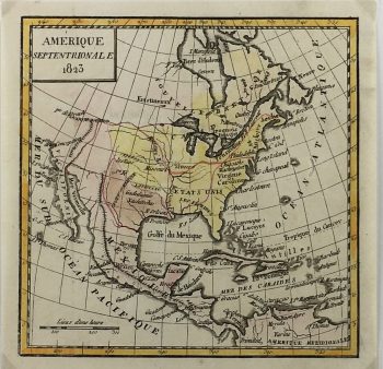
USA Map – United States, Crozat , 1823
$249.00 -
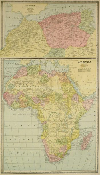
Africa and North Africa Map, 1890
$100.00 -
Ancient Geography Map, 1838
$150.00 -
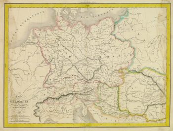
Ancient Germany Map, 1838
$125.00 -
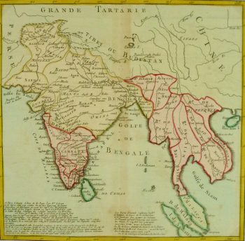
Antique Map India & Southeast Asia, 1767
$250.00 -
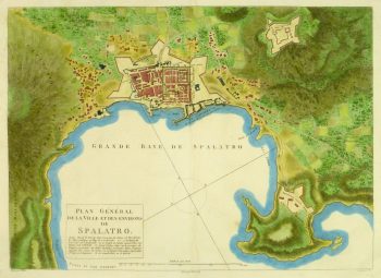
Antique Plan of Split Croatia, 1802
$500.00 -
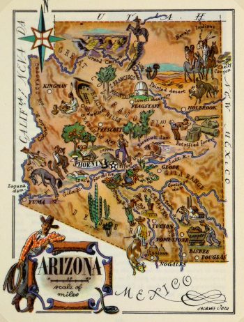
Arizona Pictorial Map, 1946
$75.00 -
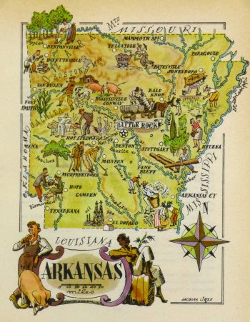
Arkansas Pictorial Map, 1946
$75.00 -
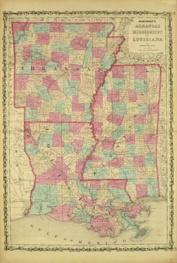
Arkansas, Mississippi & Louisiana Map,1862
$345.00 -
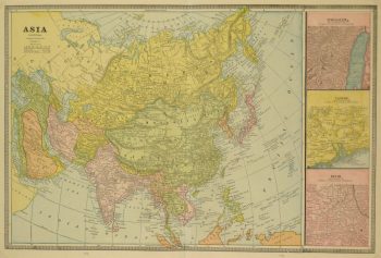
Asia Map, 1890
$75.00 -
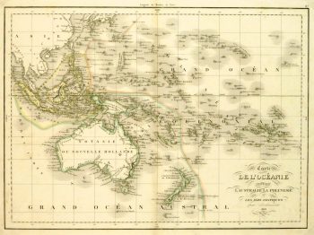
Australia & Polynesia Map, 1838
$150.00Excellent and brightly accented map of the Oceania region of the Pacific Ocean from Encyclopedia Britanica, 1891.
Showing 73–84 of 271 results