ANTIQUE MAPS
-
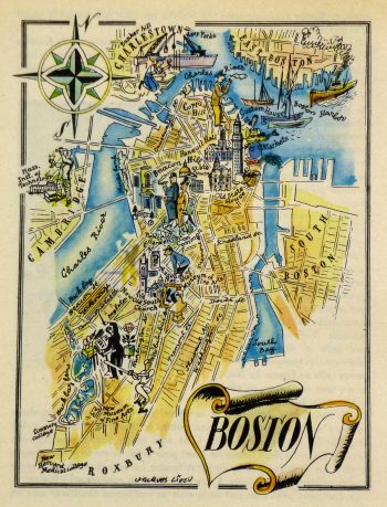
Boston Pictorial Map, 1946
$75.00 -
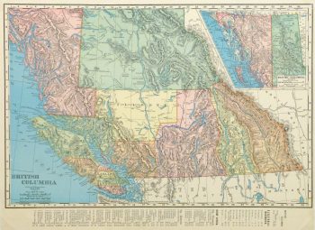
British Columbia, Canada Map, 1895
$75.00 -
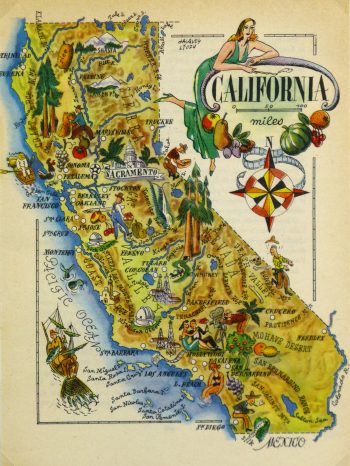
California Pictorial Map, 1946
$75.00 -
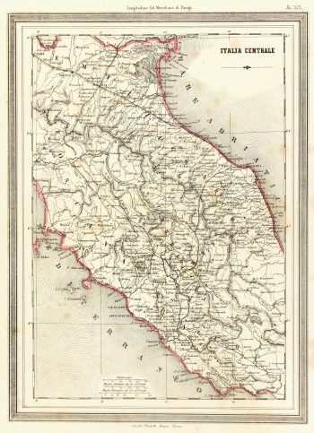
Central Italy Map, 1885
$125.00 -
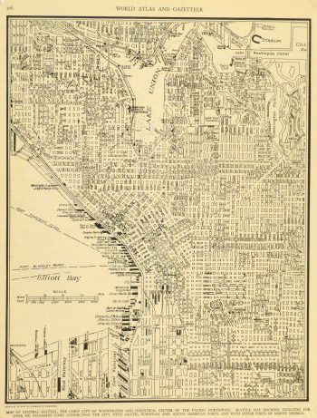
Central Seattle Map, 1937
$75.00 -
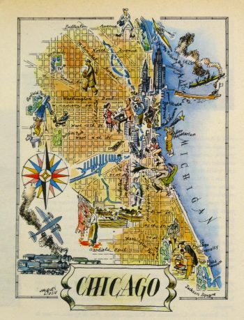
Chicago Pictorial Map, 1946
$75.00 -
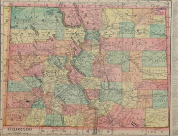
Colorado Map, 1903
$75.00 -
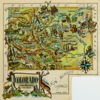
Colorado Pictorial Map, 1946
$75.00 -
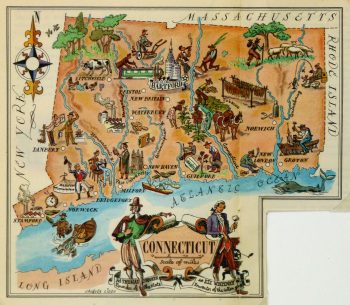
Connecticut Pictorial Map, 1946
$75.00 -
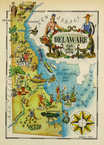
Delaware Pictorial Map, 1946
$75.00 -
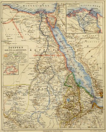
Egypt, Sudan & Ethiopia Map, Circa 1880
$75.00 -
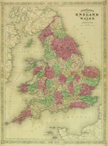
England & Wales Map, 1868
$279.00
Showing 85–96 of 271 results