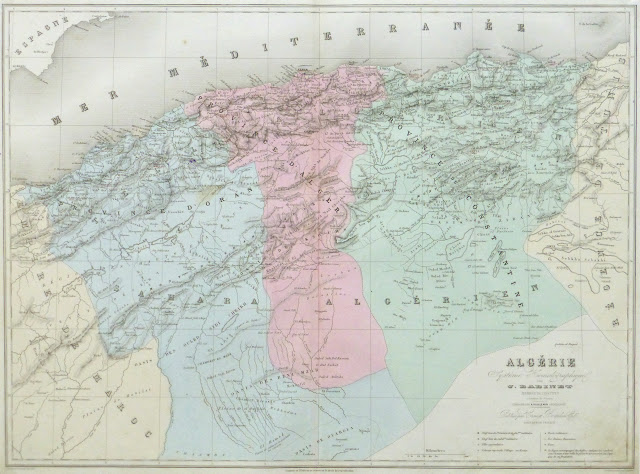
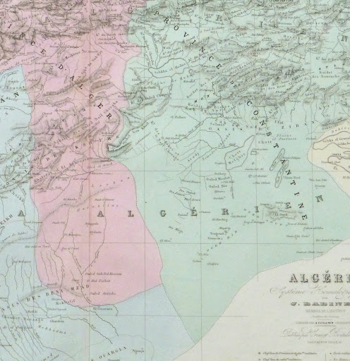
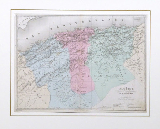


Description
Hand-colored map of Algeria by A. Vuillemin, 1859. Shows rivers, mountains, towns, provinces and roads.
Original antique map displayed on a white mat with a gold border. Mat fits a standard-size frame. Archival plastic sleeve and Certificate of Authenticity included. Map, 16″L x 12″H; mat, 20″L x 16″H.