

Description
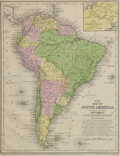
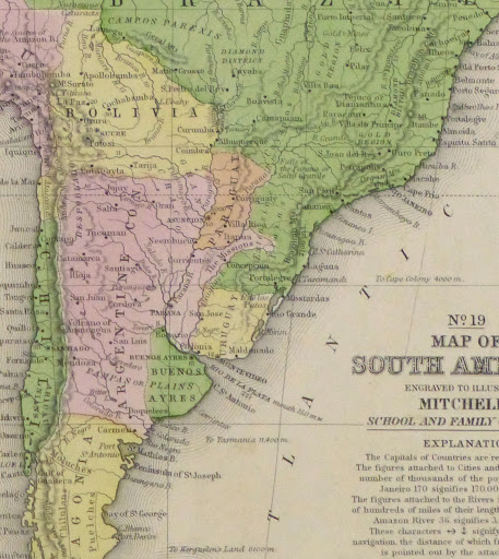
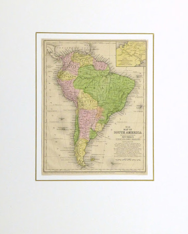
Hand-colored map of South America, 1860. Shows 19th-century country boundaries and the populations of major cities. Note Panama is still part of Colombia and Bolivia has sea access.
Original antique map on paper displayed on a white mat with a gold border. Mat fits a standard-size frame. Archival plastic sleeve and Certificate of Authenticity included. Map, 8.5″L x 11″H; mat, 16″L x 20″H.