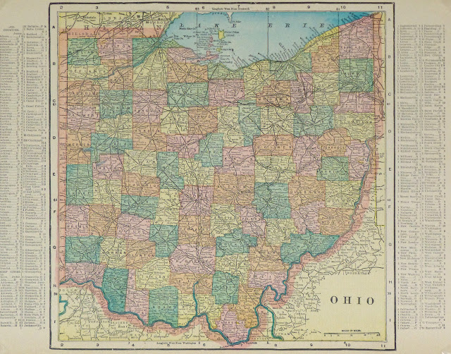
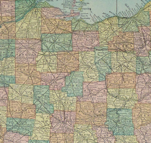


Description
Antique map of the state of Ohio, 1903. Shows counties, towns, rivers, and railroads. Note fascinating index of town populations left and right margins.
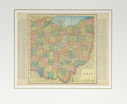
Original antique map on paper displayed on a white mat with a gold border. Mat fits a standard-size frame. Archival plastic sleeve and Certificate of Authenticity included. Artwork, 13.5″L x 10.5″H; mat, 20″L x 16″H.