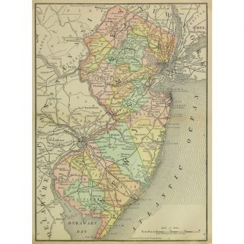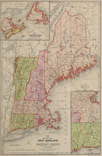
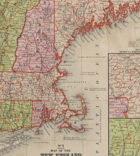
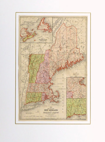


Description
Over 150 year old hand-colored map of New England from 1860. Shows counties, rivers, mountains, railroads and towns.
Original antique map on paper displayed on a white mat with a gold border. Mat fits a standard-size frame. Archival plastic sleeve and Certificate of Authenticity included. Map, 11″L x 17″H; mat, 18″L x 24″H.