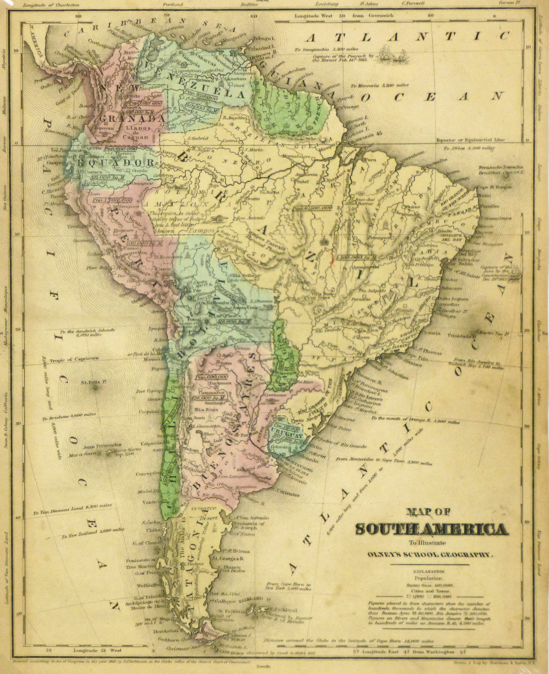


Description
Antique map of South America, 1844. Shows the early country borders, mountains, rivers and towns. Original hand-color. Note Bolivia still has access to the Pacific , Patagonia is independent of Argentina or Chile. Panana is part of Colombia.
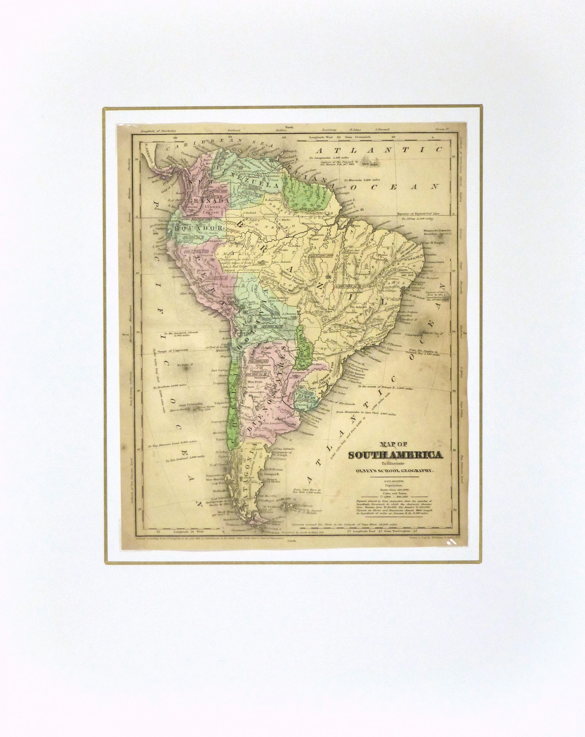
Original antique map on paper displayed on a white mat with a gold border. Mat fits a standard-size frame. Archival plastic sleeve and Certificate of Authenticity included. Map, 9″L x 11″H; mat, 16″L x 20″H.