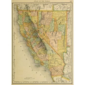
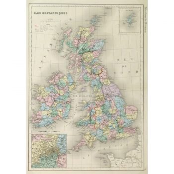
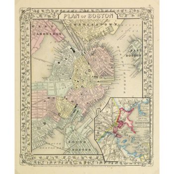
Description
Hand drawn antique map of central Europe, 1856. Bright hand color outlines. Shows Hungary, Germany and Poland including mountains and rivers.
Original antique map on paper displayed on a white mat with a gold border. Mat fits a standard-size frame. Archival plastic sleeve and Certificate of Authenticity included. Map, 17.25″L x 12.25″H; mat, 24″L x 18″H.