Description
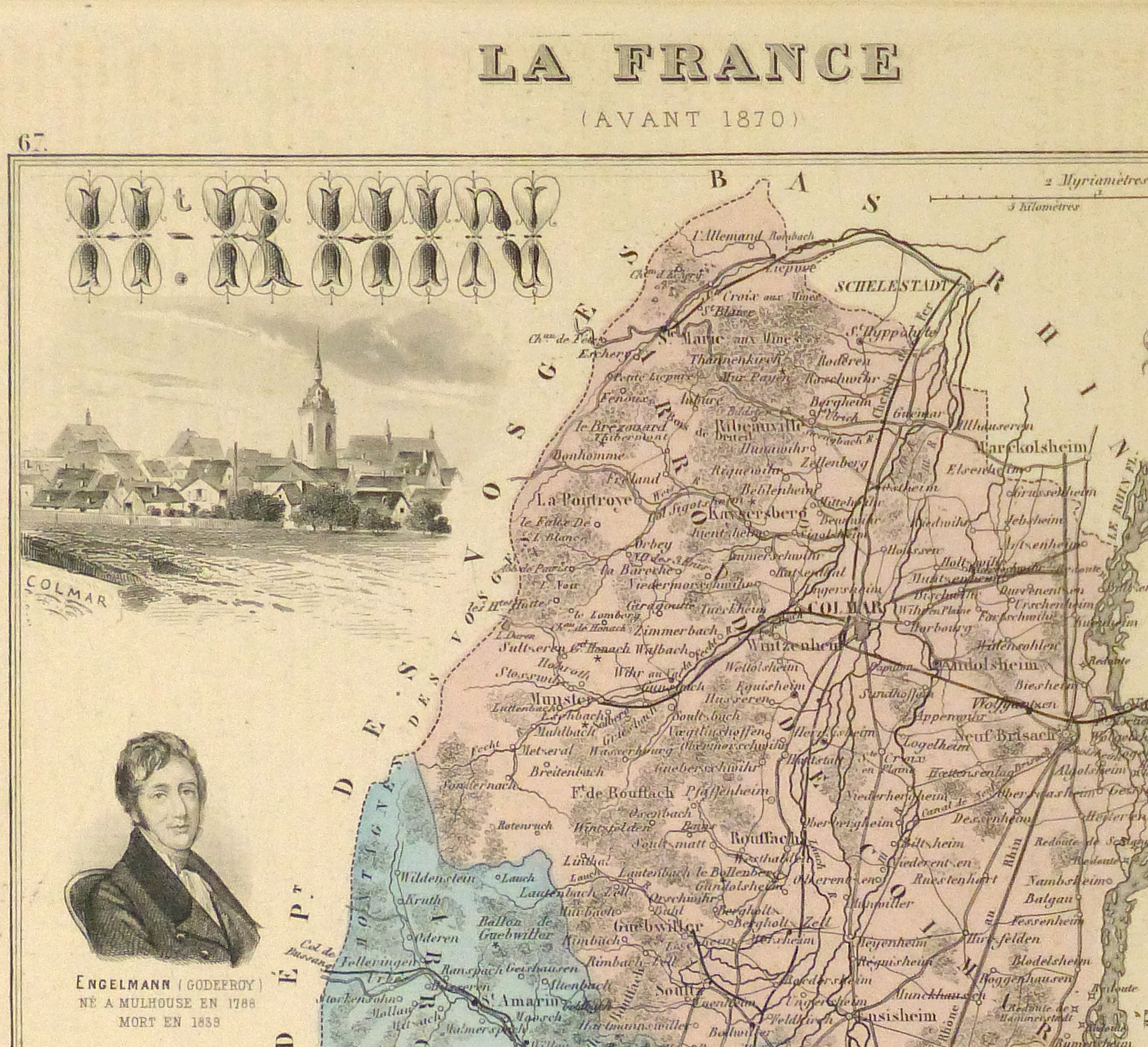
Map of the French Alsace region, 1876. Shows the departement du Haut Rhin with its famous wine region along the Rhine valley. Original hand color. Note coat of arms and engravings of famous Alsatian scenery.
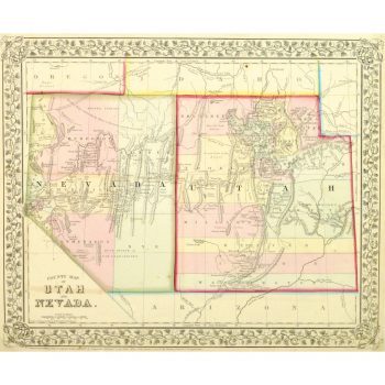
Original antique map on paper displayed on a white mat with a gold border. Mat fits a standard-size frame. Archival plastic sleeve and Certificate of Authenticity included. Map, 8.25″L x 10.5″H; mat, 16″L x 20″H.


